
Search Summerlin South Streets by Address
Summerlin South is an unincorporated Clark County town, so the practical records chain begins with county systems rather than a city clerk. The Assessor is the best current parcel starting point. OpenWeb then adds the map context, APN, lot, block, and jurisdiction. The Recorder connects that parcel or a party name to recorded instruments. Elections products are more limited and must be used through their official channels. A street search works best when every result is labeled for what it actually proves.
- Enter the street name and type in the Clark County Assessor address search. Add a direction or City/Town only when it is known. A numbered query can return addresses within three blocks.
- Open the matching parcel in OpenWeb. Save the APN, site address, legal subdivision, lot and block, tax district, and jurisdiction before comparing nearby lots.
- Check the parcel card for owner and mailing fields, recorded document number and date, plus the separate location address. Do not treat the mailing field as proof of occupancy.
- Use the APN, instrument number, or party name in the Recorder index. Record the document type, date, and party role before drawing a link between deeds on the same street.
- When a lawful precinct or walking-list product is relevant, retain its list date and confidentiality limits. For older context, compare a dated directory or map with the modern parcel rather than calling it a current roster.
That sequence keeps the Summerlin South street directory focused on address-keyed records. It also leaves room for common-area parcels, trusts, lenders, and associations that can appear in the same chain without being households.
Summerlin South Street Directory Search Fields
Clark County Assessor Real Property Records offers distinct search modes for parcel number, owner, address, subdivision, subdivision owners, parcel type or book and page, parcel tree, and parcel-map inquiry. For a Summerlin South address, the address form requires the street name and accepts a number, direction, type, legal City/Town, phonetic option, and current or present/prior owner preference. The City/Town control is a legal-boundary field, not a postal-city label, so leaving it blank can be safer when the boundary is uncertain.
| Assessor input | How it helps a street search |
|---|---|
| Street Name and Type | Required street key for an address query; pair with the correct type before assuming two similar roads are the same. |
| Street Number | Optional, but a result can include nearby addresses within three blocks. |
| City/Town | Legal boundary selector, not a mailing-city field. |
| Record preference | Lets the searcher choose current records or present/prior owners where offered. |
| Subdivision or APN | Useful when the street name is broad or a Summerlin village and parcel are already known. |
The Clark County Assessor address-search screen shows the street components and legal-boundary controls used for a Summerlin South street directory query.
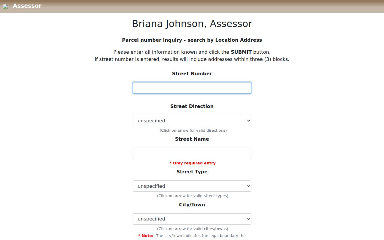
Using the fields separately helps preserve the source spelling of an address instead of forcing a postal label into the legal-jurisdiction field.
Summerlin South Street Directory on OpenWeb
After an address is found, Clark County OpenWeb is the map-based check. Its selected parcel view can show the APN, owner names, site address, sale date and price, jurisdiction, zoning, planned land use, subdivision, plat book and page, lot and block, tax district, census tract, and map tools. It also links outward to the Assessor, Treasurer, Recorder, parcel map, document-image records, and parcel tree. Those links form a useful record trail, but the County describes GIS data as reference information without warranty.
The Clark County OpenWeb GIS viewer is the map layer behind an address-led Summerlin South street directory search.
Use Select Property, the parcel layer, and the legend to keep adjacent lots, public facilities, open space, and planned land uses distinct.
A map click should be copied into a short record note: APN, situs address, jurisdiction, legal description, map date, and the portal URL. That note makes later corrections easier when the card changes or a parcel is reconfigured.
Summerlin South Street Records and Roles
Each address record uses a different key and has a different limit. The parcel number ties the Assessor, Treasurer, Recorder, and many map tools together. A street name can find a run of parcel results, but it does not make every returned name a resident. A recorded document names a party to an instrument. A permit can name an applicant, owner, contractor, architect, or complaint contact. A lawful voter product may have date and confidentiality limits. Keeping the role beside the name is the safeguard that matters most.
| Address record | Clark County keeper | Useful Summerlin South fields | Access route |
|---|---|---|---|
| Property card | Assessor | Owner, mailing and location fields, APN, subdivision, lot/block, recorded-document clue | Real Property Records, OpenWeb, counter, or phone |
| Parcel map | OpenWeb GIS | APN, site address, jurisdiction, land use, zoning, tax district, linked records | Map viewer, export or print tools |
| Official instrument | Recorder | Parties, document type, recording date, parcel or legal description | AcclaimWeb, research area, copy order, or microfilm |
| Tax statement | Treasurer | Parcel, individual or organization, situs or mailing address, as-of date | Tax Statement portal, phone, or counter |
| Election product | Elections | Precinct or district and, where lawfully available, dated address information | Official service, request, or walking-list channel |
| Development record | Building, Fire, or Public Works | Location, parcel, record number, document type, address or cross streets | Document search, Accela, Public Works, or request |
A Summerlin South street directory works as a comparison tool, not a single master roll. Match the APN and legal description before connecting a parcel card to a Recorder result, then keep the record date beside the conclusion.
Summerlin South Street Address Construction Records
Building and Fire document search can add a development layer to a Summerlin South address. Its application choices are Building Department, BDFP Code Enforcement, and Fire Prevention, with Record Number, Parcel Num, Location, and Doc Type fields. County guidance says an address search is usually the best first move. A missing result only means no document was found in that application set. It does not prove that a property never had construction, a permit, or a code matter.
The Clark County Building and Fire document search is one official address-record route for the Summerlin South street directory.
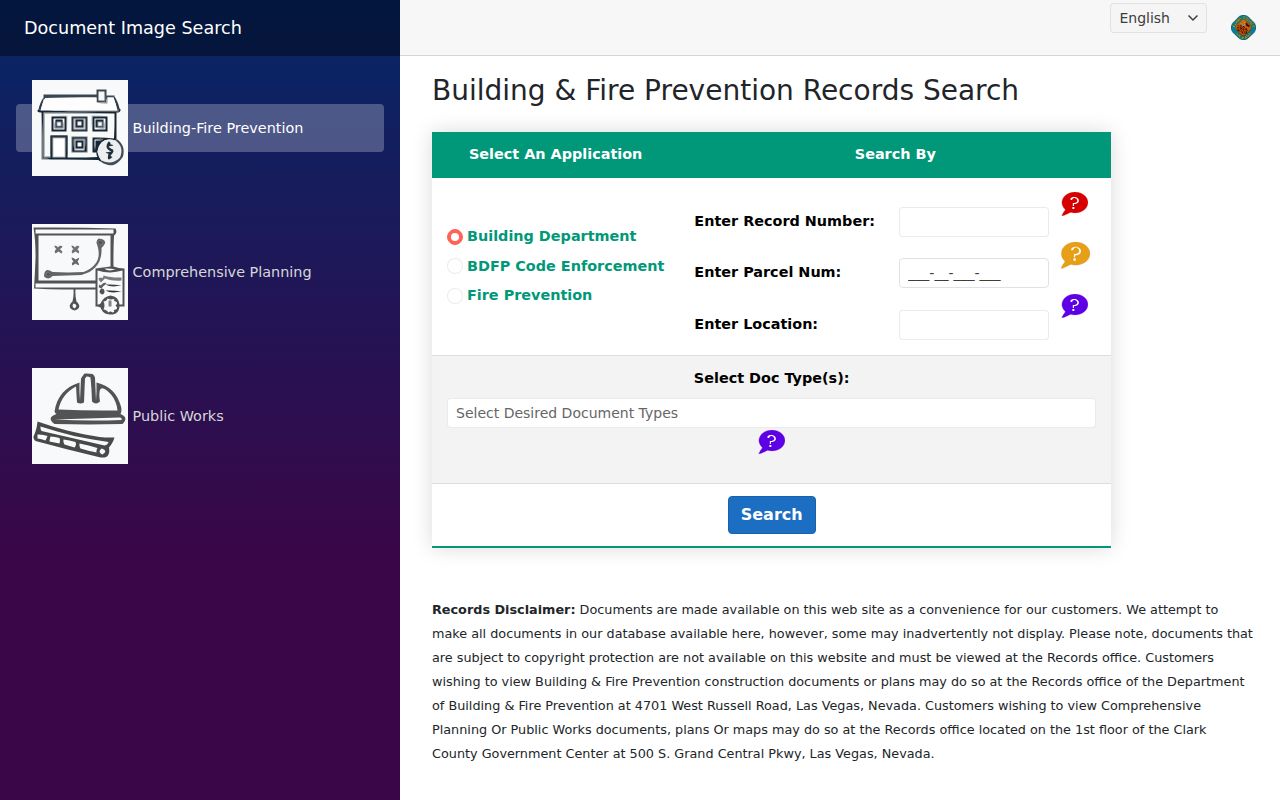
Its application and document-type choices show why a result should be described by its record role instead of as evidence of a current household.
For approved development applications, the Clark County Public Works online development-records page permits searches by application number, address, or cross streets.
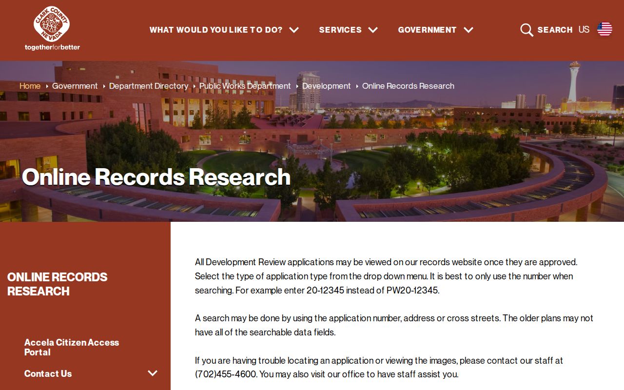
Older plans can lack data, so a defined NRS Chapter 239 request or Public Works contact is the documented fallback when the online route is empty.
Summerlin South Street Deed Searches
Clark County Recorder AcclaimWeb supports Simple Search, Name, Parcel Number, Instrument Number, Document Type, Book/Page, Record Date, Total Value, and Legal Description modes. The parcel or APN path is the clearest way to carry a Summerlin South street address into the deed chain. Name search is better after a parcel card supplies an owner or party name. An index entry can confirm that a person or entity appears in a recorded instrument. It does not establish present ownership, legal rights, or current occupancy by itself.
The Recorder name-search view displays the party and date controls used when a Summerlin South street record leads to a named instrument.
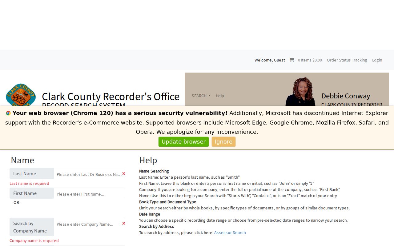
Use the match mode, dates, document type, and party role to separate a grantor or lender from an owner of record.
The Recorder document-type search supplies another path when an instrument class and recording period are known.
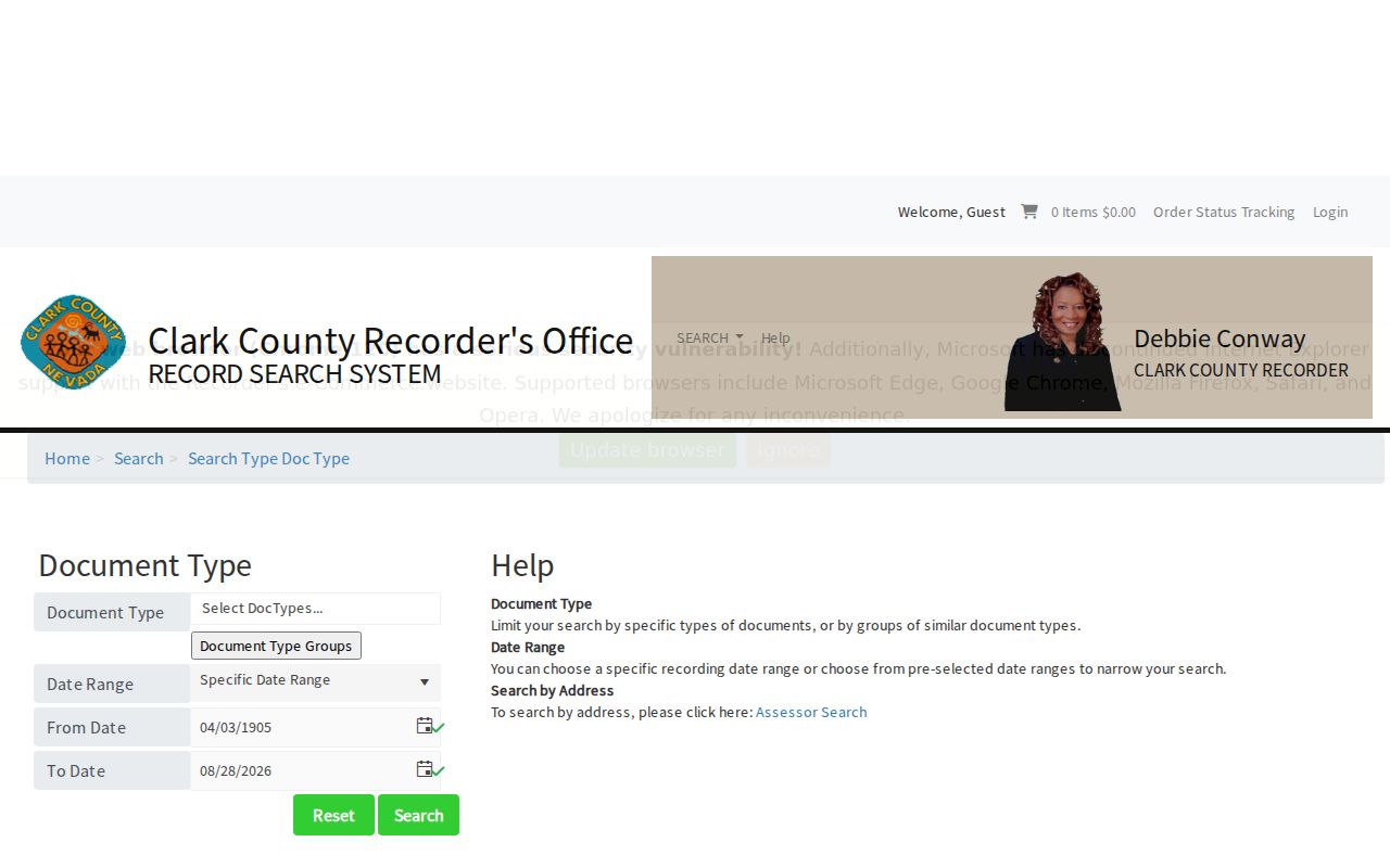
The source capture does not establish the live dropdown options, so the current portal controls should be read before narrowing a search.
Summerlin South Street Directory Before 1988
The online Official Records index begins in 1988, but the Recorder describes microfilm from Clark County's beginning in 1909 through the current year. That difference matters when an address chain reaches an older tract, easement, or plat. The public Records Research area is the route for original instruments, and copies can be ordered online, by mail, or through the Recorder. A request should include the street or APN, date range, record type, and known instrument or book reference whenever possible.
Summerlin South's own planned development dates are much later. Its Land Use and Development Guide was approved in 1995 and updated in 2005, while the Development Agreement was approved in 1996 and amended in 2005. A modern street can therefore be absent from an older Las Vegas directory or map because it had not yet been platted. For regional historical context, UNLV collections, dated maps, street files, and newspapers are better companions than a claim that an old listing covers the present subdivision.
Summerlin South Street Labels and Jurisdiction
Summerlin South is also a place where a street label must be read in layers. The County's current page describes an unincorporated town, while the wider Summerlin brand crosses the City of Las Vegas and unincorporated Clark County line. OpenWeb sample parcels can display CC Summerlin South with ZIP 89135, while an Assessor card can carry a Las Vegas mailing city. Those fields are not contradictory. They describe postal delivery, legal City/Town, and land-record jurisdiction differently.
Use the parcel's City/Unincorporated Town and GIS jurisdiction to route a Summerlin South street directory record. Preserve the mailing city and ZIP as their own fields. The County warns that assessor maps are assessment tools, not surveys, and OpenWeb advises that ongoing development makes its information reference-only. Recorded plats and documents are the better source for a legal-boundary or title question.
Reading a Summerlin South Street Directory
A few record terms make an address chain much easier to read. They also keep a street result from becoming a vague list of names. The Assessor and OpenWeb cards expose both map labels and legal-description clues, while the Recorder holds the recorded instrument behind many of those fields.
- APN or parcel number
- The Assessor's parcel identifier. It links a land record to the map, tax statement, and often the Recorder search.
- Situs or location address
- The physical property address shown separately from the owner mailing address on an Assessor card.
- Plat
- A recorded subdivision map. Its book and page can explain the lot, block, road, or common area behind a street result.
- Criss-cross directory
- A historical reverse directory arranged by address. It is a dated snapshot, not a current occupancy source.
When the question shifts from an entire street to one particular person, a separate Summerlin South resident lookup can keep that one-person verification work distinct from the address record chain.
Limits of the Summerlin South Street Directory
A parcel card may list an association, trust, company, or owner with a mailing address. Recorder documents may list a grantor, grantee, borrower, trustee, lender, or return contact. Permit files can name people tied to an application rather than a home. Election products are dated and protect confidential voters. None of those sources creates a full public occupancy list for a street. Utility accounts, delivery data, protected voter details, sealed material, and Confidential Address Program locations are not a shortcut for filling gaps.
Nevada's Public Records Act opens records unless another law makes them confidential, but it also supports redaction and separation of protected information. NRS 293.440 and NRS 293.558 govern voter-list access and confidentiality. A clear record note should state the source, record date, jurisdiction, and role without publishing sensitive details that are unnecessary to answer an address question.