
Summerlin South Neighbors by Block
The public record for a block is made from layers, not from one neighbor roster. OpenWeb can show parcel geometry and selected parcel details. The Assessor can supply owner, mailing, location, APN, construction, and subdivision fields. The parcel tree can reveal whether a nearby APN is a parent tract or common area. Recorder instruments provide party roles and dates. Election products are regulated, dated, and exclude confidential voters where required. The Summerlin HOA map can provide community routing, but it is not a member list.
| Block source | What it can show near an address | Access and boundary limit |
|---|---|---|
| OpenWeb GIS | Parcel polygons, adjacent APNs, situs, owner, lot/block, zoning, land use, and jurisdiction | Map and layer tools; reference-only data |
| Assessor address or parcel card | Address rows, owner/mailing and location fields, APN, construction, and subdivision | Street result can reach three blocks; City/Town is legal boundary |
| Assessor parcel tree | Parent and child lots, acreage, owner, document number, and deed date | Development tracts and common areas can appear beside homes |
| Recorder index | Recorded parties, instrument type, date, and legal-description clues | Online Official Records begins in 1988; a party is not an occupant |
| Precinct or walking-list product | Precinct/district and, when lawfully obtained, dated names and addresses | Confidential voters are omitted; precinct is not a block or HOA boundary |
| Association map | District or community context and a contact route | Private community map, not a directory of households |
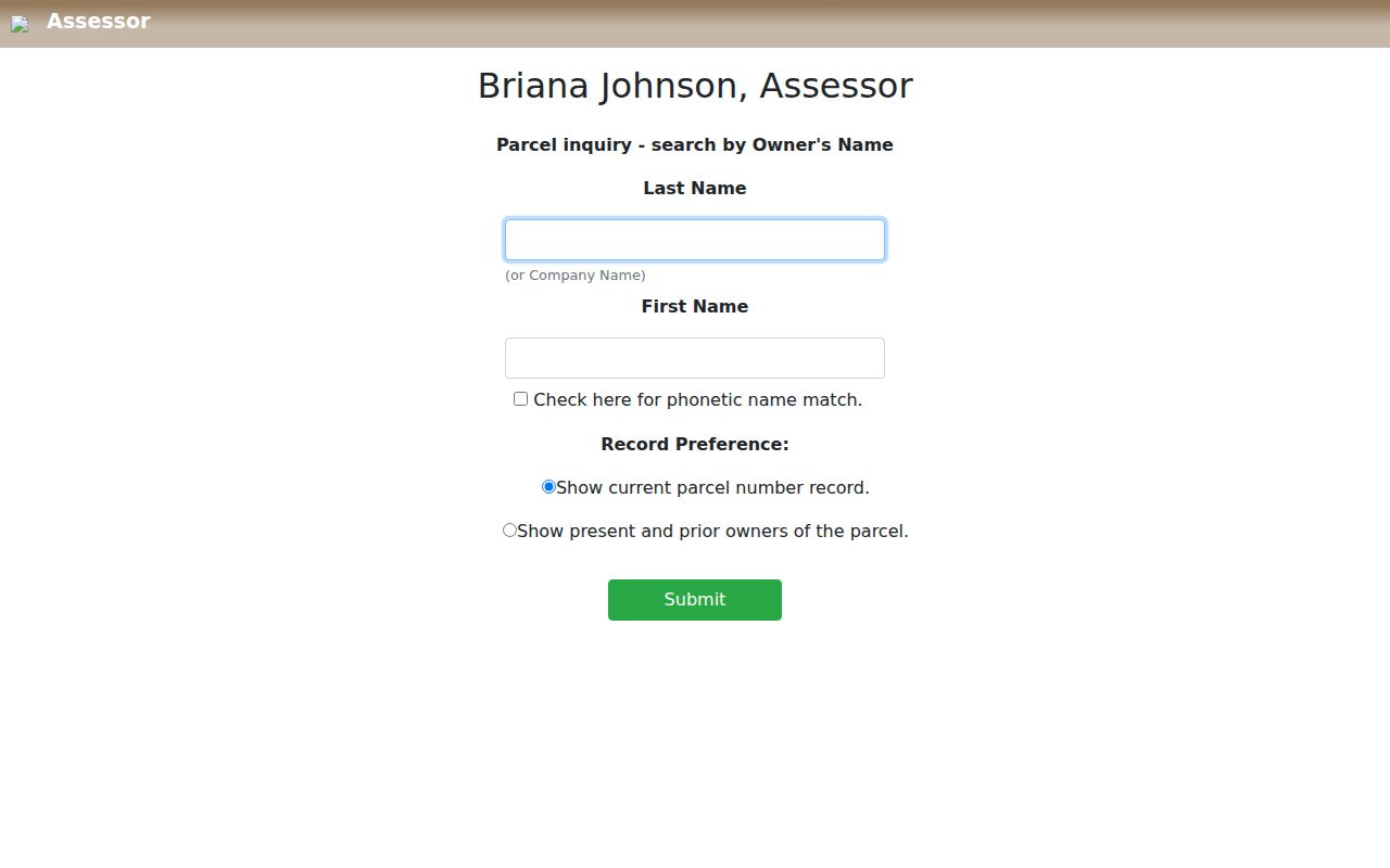
The Clark County Assessor owner-name search is a useful official entry point once a parcel card supplies a current or prior owner clue.
Owner fields must remain owner fields. A trust, association, or mailing contact does not answer who currently occupies a nearby property.
Map Summerlin South Neighbors by Parcel
Clark County OpenWeb supports the careful way to move from one address to a small surrounding set of parcels. Select the subject property, then work outward through parcels that touch the lot rather than drawing a radius from a geocoder point. Save the APN, situs address, legal subdivision, lot and block, tax district, map date, and jurisdiction for every parcel that matters. The viewer also exposes layers for planned land use and links to the Assessor, Treasurer, Recorder, document images, and parcel tree.
- Locate the target address or APN in OpenWeb and confirm the selected site address and jurisdiction.
- Use the parcel boundaries and Select Property tool to identify the truly adjoining APNs.
- Open each relevant card and note its owner-of-record, mailing and location fields, lot/block, and recorded-document clue.
- Check parcel-tree and plat information before treating the next APN as a home lot.
- Use the Recorder only after the APN or instrument key is captured, then record the party role and date beside the result.
The selected-parcel OpenWeb capture shows the type of official map result used to place Summerlin South neighbors in a parcel context.
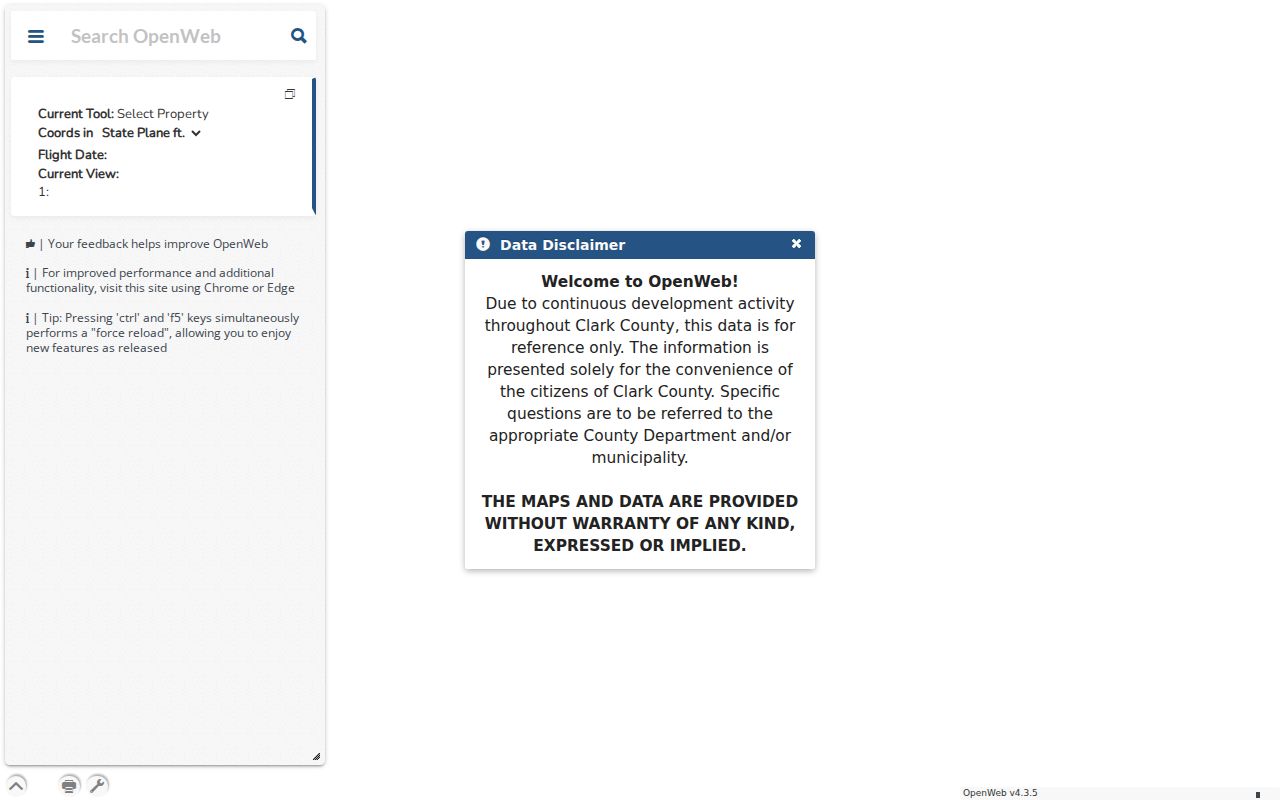
Its parcel, site, jurisdiction, owner, sale, subdivision, zoning, and linked-record fields are more useful than a simple distance circle around an address.
For a full named-street record chain instead of a block-sized review, use the Summerlin South street directory. That search follows the same records outward along a road rather than only through adjoining parcels.
Summerlin South Neighbors, Lots, and Common Areas
Adjacent APNs need a second check before they are treated as neighbors. The Clark County parcel-tree sample identifies a Summerlin South Community Association parcel and an earlier Woodside Homes Nevada LLC parent tract with 199 child parcels. That is a useful local example of why a neighboring map shape can represent an association, development infrastructure, or a parent parcel rather than a home. Parcel tree fields include selected APN, owner, acres, tax district, document and deed details, parent and child counts, and parent ownership.
The Clark County Assessor parcel-tree example documents the parent-and-child view available for a Summerlin South neighbor check.
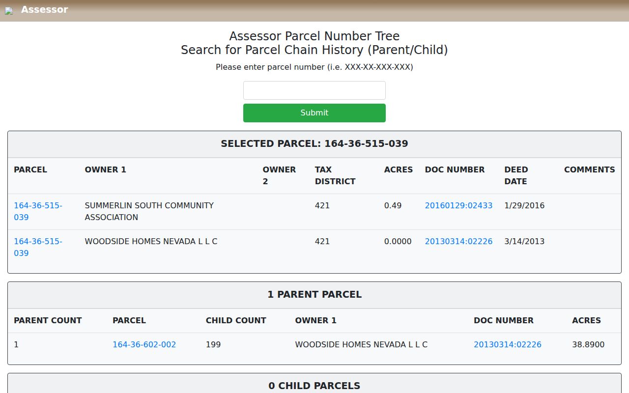
The parent history helps separate a development tract or association record from the individual lots created from it.
- APN
- The Assessor parcel number that carries a property from the map into the card, tax statement, and Recorder search.
- Parent parcel
- A larger tract from which later lots may have been created. It is not automatically the prior household address.
- Common area
- Association-controlled land such as an entrance, park, road, or amenity. A nearby common-area APN is not a household.
- Plat
- The recorded subdivision map that names lots, blocks, rights-of-way, and other legal layout details.
Summerlin South Neighbor Land-Use Context
OpenWeb and the planning legend add context that a name field cannot. Official layers identify single-family and multi-family areas, public facilities, schools, churches, parks and open space, casino, commercial, steep slope, and neighborhood categories. These labels are useful for explaining why the next parcel is a park, school, right-of-way, commercial lot, or open space. They should never be used to infer who occupies that parcel or whether a planned use has become final development.
Jurisdiction needs the same care. Summerlin South is an unincorporated Clark County town, while the Summerlin brand crosses the City of Las Vegas and County line. The HOA map notes the City/County divide at Charleston Boulevard. OpenWeb legal jurisdiction, the City/Unincorporated Town field, and the parcel APN are the better routing keys for a record. A Las Vegas mailing city or ZIP is a separate postal label, not a replacement for that land-record jurisdiction.
Summerlin South Neighborhood Association Context
The official Summerlin HOA map identifies Summerlin South Community Association and nearby association districts. Those labels can help a searcher route a community-maintenance question or understand why an association is named on a common-area parcel. They are not public directories of households. The research did not locate a public association member directory, website contact address, or complete roster for Summerlin South Community Association, so a record check should stop at the documented community contact and parcel context.
| Association or local boundary | Published map contact or use |
|---|---|
| Summerlin South Community Association | 702-791-4600 on the official HOA map; a Summerlin South community-routing contact, not a resident list. |
| Summerlin North, Centre, and West | Nearby governance districts shown to distinguish adjacent Summerlin areas from Summerlin South. |
| Sun City, Red Rock Country Club, and Siena | Named nearby associations that help avoid assigning an adjacent community to Summerlin South. |
| Clark County and City of Las Vegas | Government routing differs from association routing, even where a Summerlin name appears. |
For a subdivision question, preserve the map label, date, parcel jurisdiction, and phone contact. That is enough to document a lead without turning a community-maintenance map into a personal profile.
Summerlin South Neighbors and Address Records
A parcel's development activity can explain a newly built lot, a re-plat, or a shared improvement around a block. Clark County's Building and Fire document search uses application choices for Building Department, BDFP Code Enforcement, and Fire Prevention, with Record Number, Parcel Num, Location, and Doc Type fields. Accela Citizen Access is another official permit route, though the unattended inspection did not preserve its live search fields. Names in either source can be applicants, owners, contractors, engineers, architects, or complaint contacts, so their role and record date must remain visible.
The Clark County Accela permit portal is an official development-record channel for address context around Summerlin South neighbors.
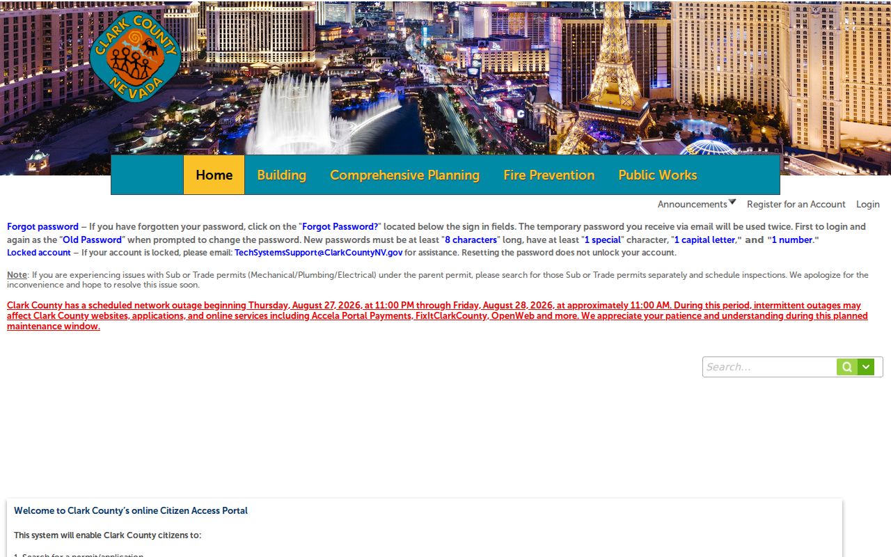
The source capture confirms the portal entry point, but not its current public field inventory, so the live portal should guide the actual query.
The Clark County Building complaint-service form is another address-specific government channel, with its own case and privacy limits.
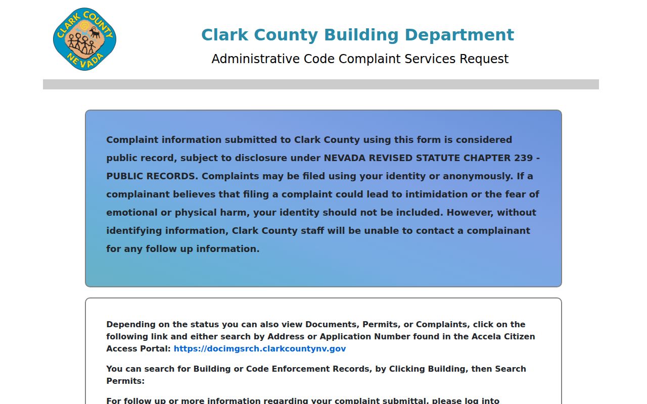
A complaint or permit result is a record of an agency interaction, not a statement about who currently lives at a property.
Summerlin South Neighbors: Official and Commercial Sources
Official records preserve the key, date, and agency role behind a result. Commercial neighbor-lookup services compile material from public records, data brokers, and other sources, then can change or reassemble it without showing the exact source trail. Nevada's official source owners remain the right route for a correction, record copy, confidentiality request, or a clear explanation of what a field means. A commercial opt-out can affect a displayed compilation, but it does not remove an underlying government record.
| Source type | Strength for a block question | Limit to retain |
|---|---|---|
| Official parcel, map, or Recorder record | Links a field to an APN, instrument, agency, date, and legal jurisdiction | Owner or party role does not prove current occupancy |
| Official Elections product | Can provide lawfully available, dated precinct information through the County channel | Confidential voters are excluded and the precinct does not equal a block |
| Commercial compilation | May supply a lead that needs checking | Can be stale or mismatched; use its own opt-out process and verify against the agency record |
Keep the APN, document date, jurisdiction, and source URL in a private research note. That is more reliable than relying on a flat list of names with no record role.
Summerlin South Neighbors and Precinct Limits
Clark County Elections distinguishes individual Registered Voter Services from public registration totals and voter-list products. The inspected individual service is login-gated, so no public name-and-address search form should be assumed. Walking lists by precinct can show names and addresses through the official request process, but confidential voters are excluded. Active and inactive status are list-maintenance terms, not proof of voting frequency or present occupancy.
For a Summerlin South block, compare the GIS jurisdiction with the Elections precinct or district map and preserve the list date. An HOA boundary, ZIP label, subdivision, and precinct can all cut across one another. Nevada statutes NRS 293.440 and NRS 293.558 set the access and confidentiality framework, while the County controls the local files and products.
Privacy Limits for Summerlin South Neighbors
Public records do not disclose every person connected to a block. Assessor and OpenWeb fields can show owner, mailing address, situs, APN, and property characteristics, but the owner may be a trust, LLC, association, or absentee owner. Recorder images can contain more personal detail than an index summary. Confidential voters are omitted from eligible election products. Vital, juvenile, protected-victim, sealed, and Confidential Address Program information carry further limits. A CAP substitute address must never be reverse-inferred as a physical Summerlin South location.
Nevada's Public Records Act permits access to records unless a law makes material confidential, and it supports separation of protected fields. A careful neighbor result states only the record source, date, role, and jurisdiction needed for the question. It does not publish full birth dates, phone numbers, signatures, protected addresses, minor identities, or sensitive case details.